Agriculture & Climate · 2026
FieldDx
AI crop diagnostics that tell field officers which farms to visit first
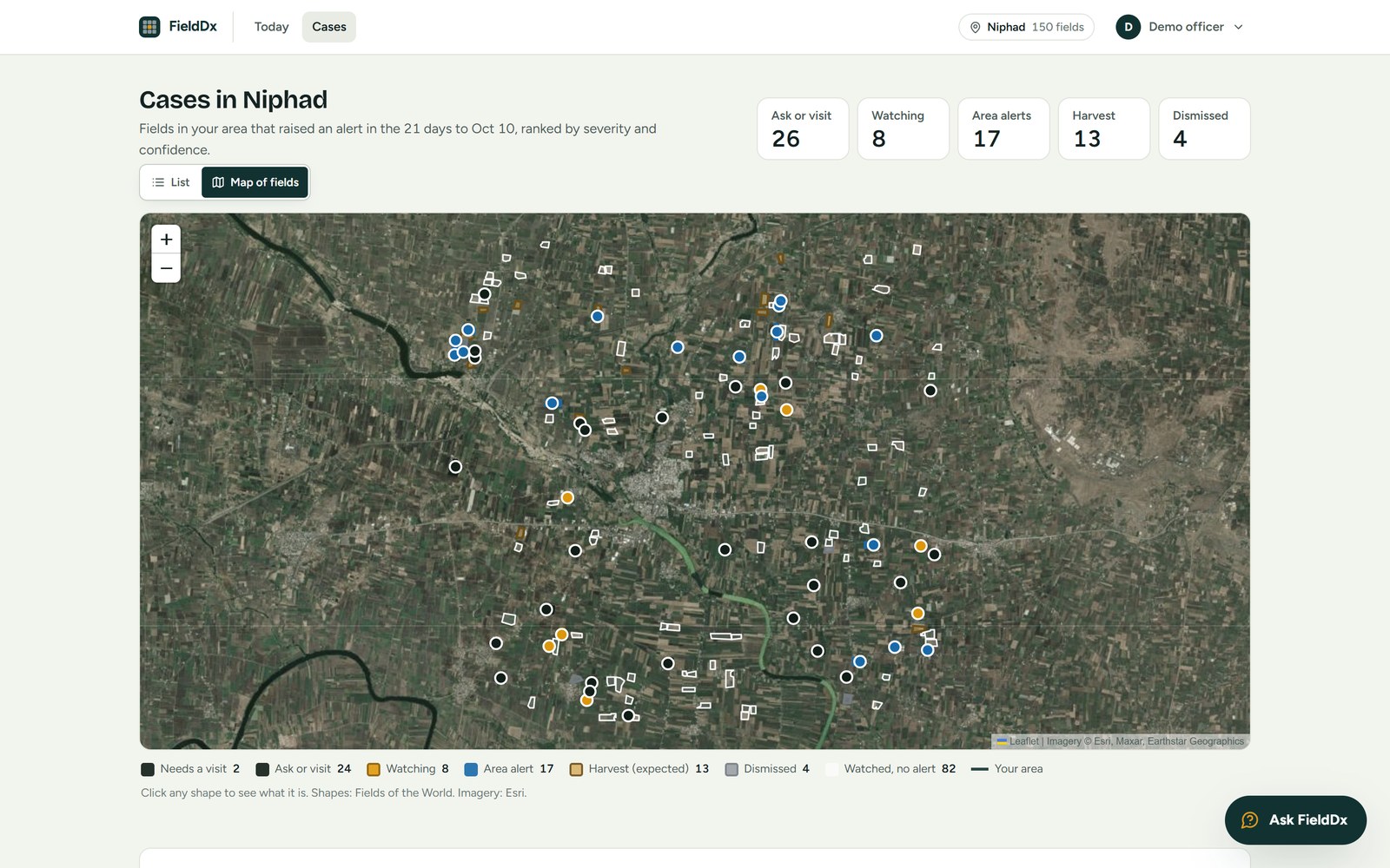
FieldDx uses satellite imagery to identify crop health changes, evaluate likely causes, rule out alternatives and recommend the most cost-effective field check to verify the diagnosis.
A field officer in Nashik's grape and onion belt might see 68 fields that lost green in three weeks, with time to visit perhaps fifteen. Some of that red is a hazy satellite pass, some is a harvest on schedule, and many are one neighbourhood-wide dry spell. Somewhere in there is the plot where disease is actually spreading.
FieldDx triages those alerts so the officer's day goes to the farms that need it.
What it does
- Detects crop health changes from satellite imagery
- Weighs likely causes and rules out alternatives such as cloud, harvest and regional weather
- Recommends the cheapest field check that confirms the diagnosis
- Designed India-first for smallholder farms
Built with
- Python
- Satellite imagery
- Geospatial analysis